Baladi Map app turns Lebanon’s local problems into a public record
A Lebanese engineer has created a platform where residents map broken infrastructure and municipalities can publicly track their response.
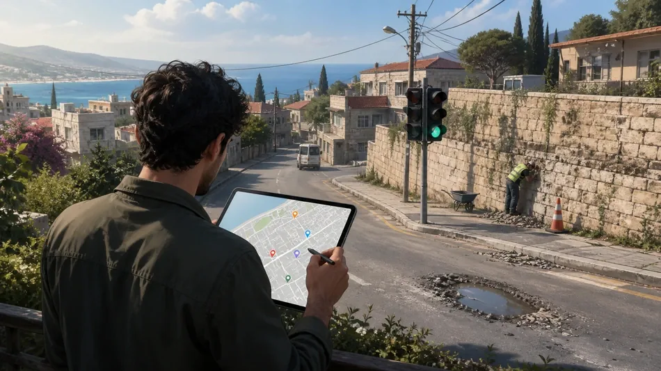
Roy Bou Nassif, a 28-year-old mechanical and industrial engineer, developed Baladi Map after a 50-metre stone wall beside Ardeh’s main road deteriorated for about a decade despite repeated complaints. Hundreds of vehicles pass the wall daily in the northern Zgharta district.
The free website and mobile app lets users photograph a problem, describe it, add its location and publish it on a map. The website was soft-launched in June and the iOS app followed in August. It has about 1,000 registered users reporting dangerous roads, damaged infrastructure and illegal pavement encroachments.
Bou Nassif lived in Australia for more than a decade and valued its organised public-reporting systems. After Lebanon’s 2019 uprising, his father told him national change had to begin in one’s own neighbourhood. Lebanon’s economic collapse, Beirut port explosion, wars, emigration, political patronage and limited municipal resources had left many routine problems unresolved.
Municipalities receive a dashboard, can mark reports as noted or in progress, reply publicly and upload proof of completion. Two municipalities have joined, and nine others have expressed interest. Residents can vote on reports, helping officials see which problems affect the most people. Complaints already range from dark streets in Ghazir and rubbish in Haret El Mir Zouk Mkayel to potholes in Qlaiaat, Kesrouane and Beirut.
Bou Nassif aims to enrol 10 municipalities by the end of September, reach 10,000 users and have five reported issues fixed by year-end. The first report requested traffic lights at a busy Byblos junction. Lights appeared three weeks later, although he does not claim the platform caused the work. He wants Baladi Map to document what residents need, what authorities can deliver and what prevents action.
V.Schmid--BP